Rain from Ian could cause flooding in these areas of Charlotte

READ MORE
Tracking Ian
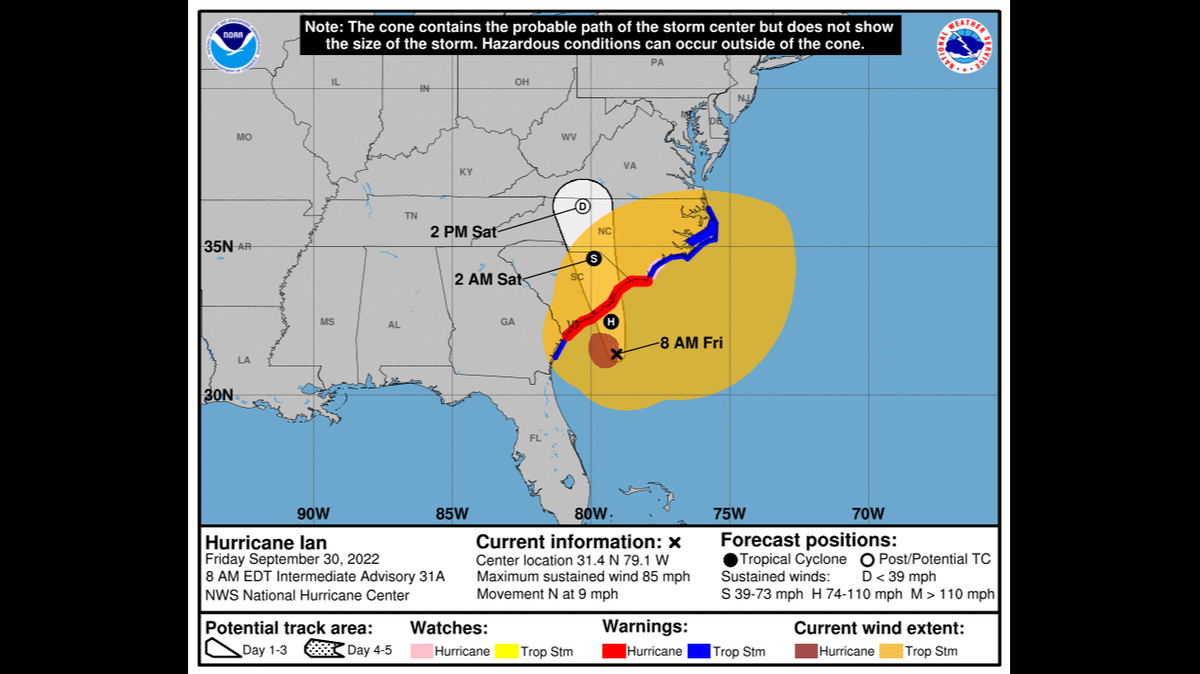
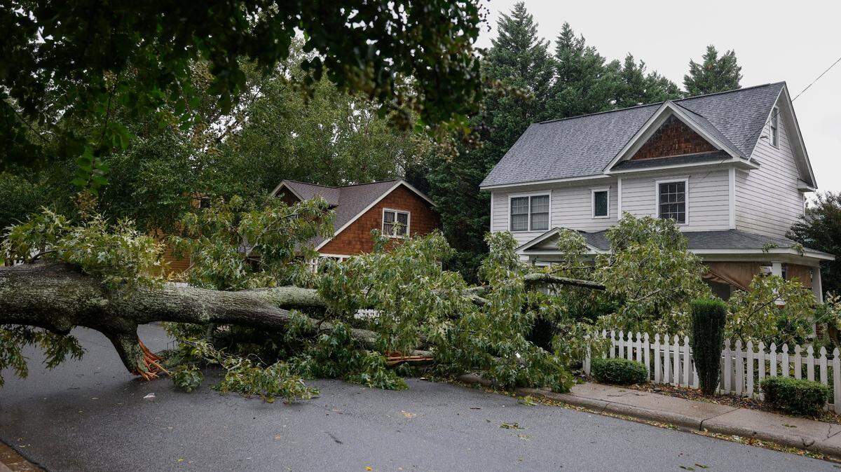
Ian could pack wind gusts of 35 mph to 40 mph, enough to topple trees in soil weakened by the tropical storm’s expected 4 inches to 6 inches of rain this weekend. This is the latest information on the storm.
Expand All
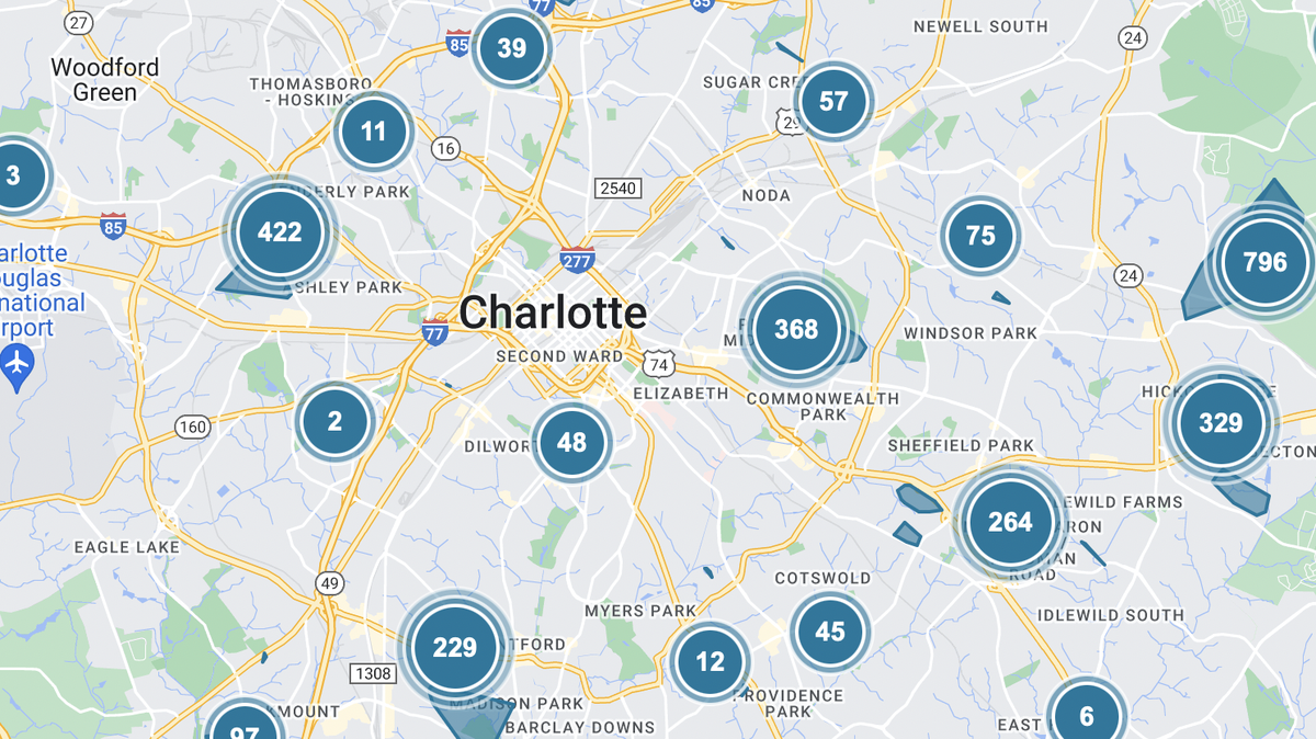
Charlotte could see flooding this weekend with Hurricane Ian expected to dump up to 6 inches of rain across the region.
John Wendel, senior communications specialist for Charlotte-Mecklenburg Storm Water Services, said the utility is preparing for “considerable flooding” in certain areas and encouraged residents to clean out their storm drains in a news conference Wednesday.
“We really need people at home to look at the storm drains in their neighborhoods to clear those out,” Wendel said. “We can’t get to them all.”
Residents on busy streets that might feel uncomfortable cleaning out a storm drain can call 311 for assistance, Wendel said.
Flooding in Mecklenburg County will depend on how fast the rain comes down.
“If it happens in a three-hour period, that will be an issue. If it happens over a 48-hour time frame, we’re spread out. We should be OK. We can handle it,” Wendel said. “But it all depends on how fast it comes down and the length of time it comes down.”
Where to look out for flooding
The first area most likely to flood is where Addison Drive intersects with McMullen Creek in South Charlotte.
“Where the creek is and where the road is, it’s maybe about a 5-foot difference,” Wendel said. “So once that water comes up really fast, there may be some flooding there.”
Other areas where flooding is possible include roads along:
The Catawba River basin
Little Sugar Creek
Briar Creek
McDowell Creek
All Mecklenburg County lakes
Larger roads that pass through these areas include Charlottetowne Avenue, North Davidson Street, Belmont Avenue, Matheson Avenue, Parkwood Avenue, Briar Creek Road, North Tryon Street, East Little Sugar Creek Road and Sam Furr Road.
But “wherever it rains, it can flood,” Wendel said, pointing out flooding in July in Matthews and Mint Hill that took place outside of the flood plain.
Residents who want to check rainfall in their area, view live cameras of nearby creeks or look at stream gauge information can visit stormwater.charmeck.org and click on the “Rainfall & Creek Data” tab.
Charlotte-Mecklenburg Storm Water Services encourages drivers to turn around if they see standing water because more than half of people who die from flooding die in their car, Wendel said.
“There may be a sinkhole under there. There may be some logs under there, some debris under there,” Wendel said. “There also may be some power lines that are down.”
Ian makes landfall in southwest Florida
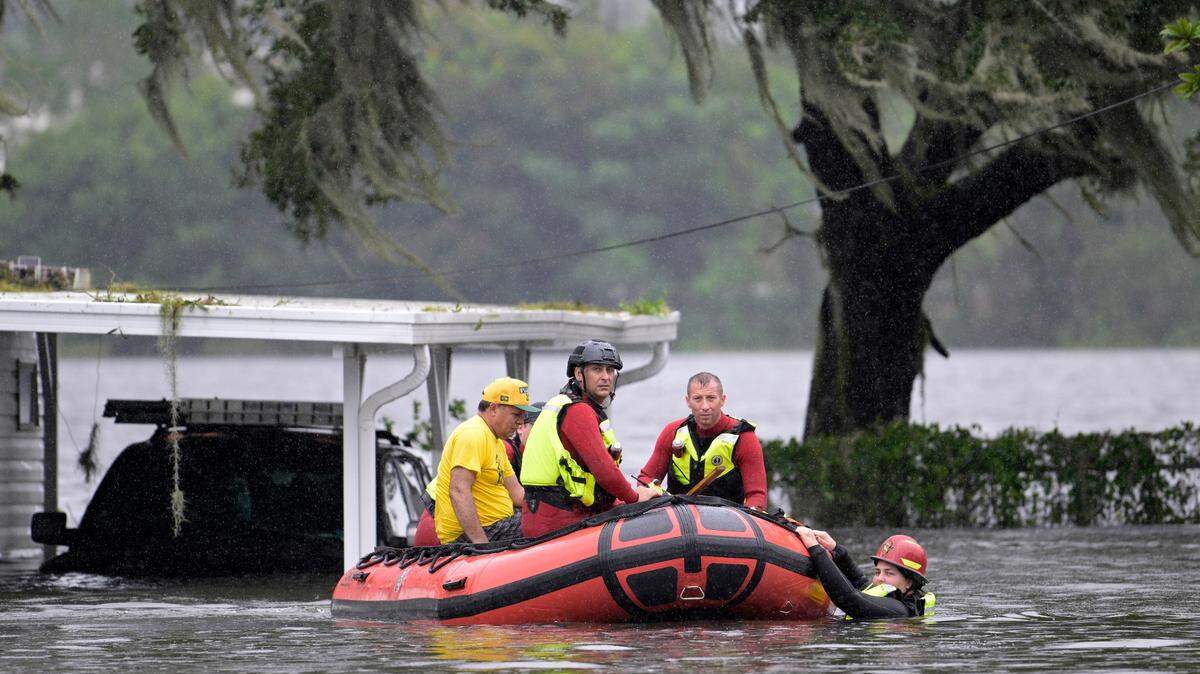
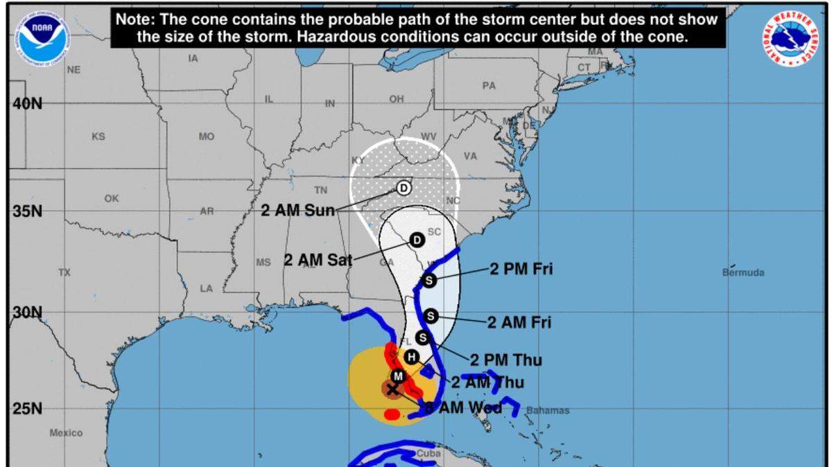
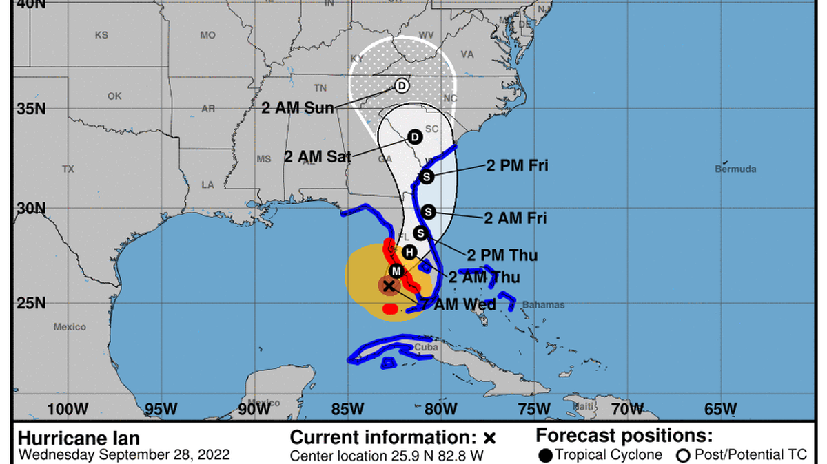
Hurricane Ian made landfall in southwest Florida Tuesday afternoon with “catastrophic” winds. It is expected to leave behind 24 inches of rain in parts of the state.
By the time Ian makes its way to North Carolina, it’s expected to be a tropical depression.
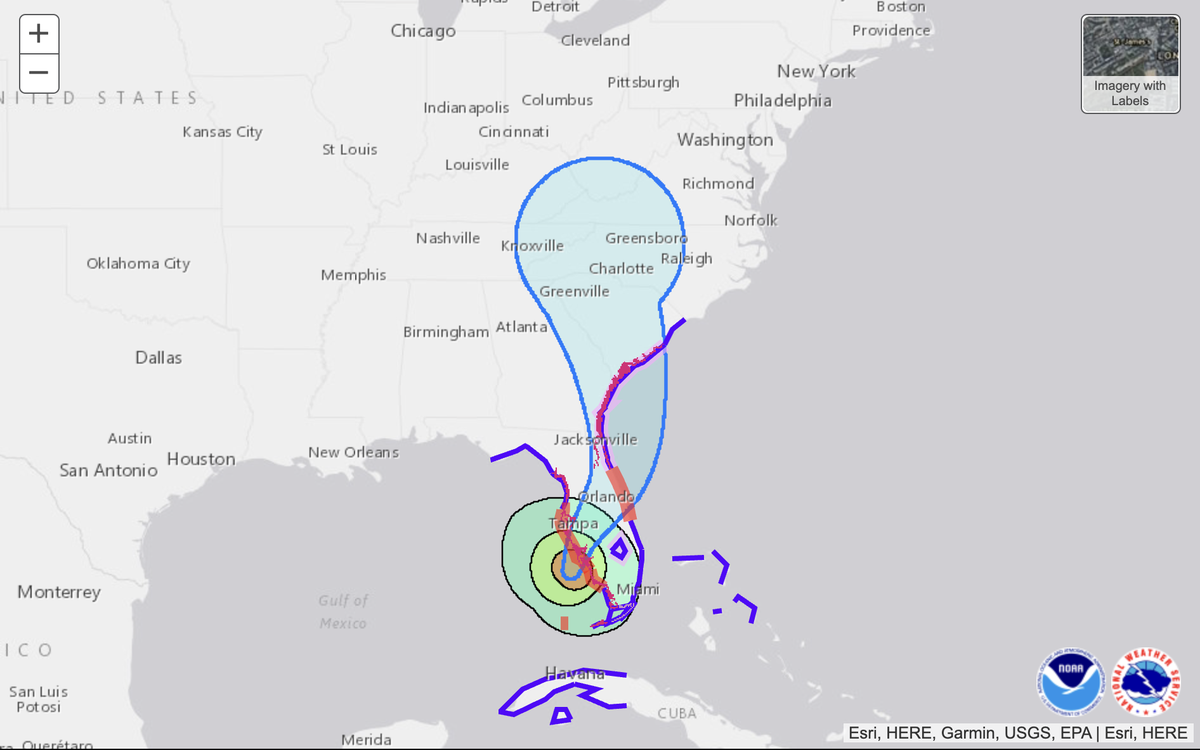
At 11 a.m. Wednesday, an updated rainfall prediction map from the National Hurricane Center showed Charlotte and Rock Hill getting 3-4 inches, along with the area to the north and northeast of Mecklenburg County stretching to Raleigh.
Other parts of the Carolinas could see 4 to 8 inches, including the North Carolina foothills and mountains.
“The greatest and most widespread hazard from this system is still expected to be heavy rain across NC,” North Carolina Emergency Management tweeted Wednesday morning. “Additional hazards include the potential for gusty winds, coastal flooding and isolated tornadoes.”
This story was originally published September 28, 2022 at 2:11 PM with the headline "Rain from Ian could cause flooding in these areas of Charlotte."